Stewart Island Maps and Brochure

Stewart Island/Rakiura is situated south of New Zealand's South Island. It lies 30 kilometres south west of Bluff between latitudes 46 and 47 degrees south.

View a digital version of our 2023 brochure


Tramping Maps

are available from the Rakiura National Park Visitor Centre.

Maps


The Stewart Island street map is freely available at many locations on the island or download this PDF version (205kb) by selecting the map below:

Graphic on Island Map Crop


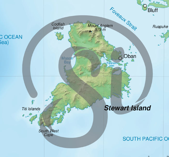
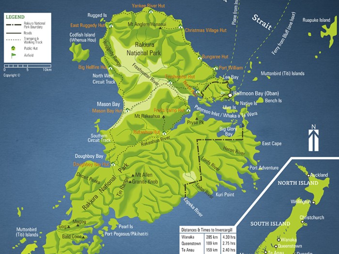
Overview maps are printed in the Stewart Island brochure but you can view JPG versions of them by selecting the map images below:

Stewart Island NZ Map   Stewart Island overview map